McNamara Line, McNamara Line tour, visit McNamara Line, DMZ Vietnam, DMZ tour Vietnam
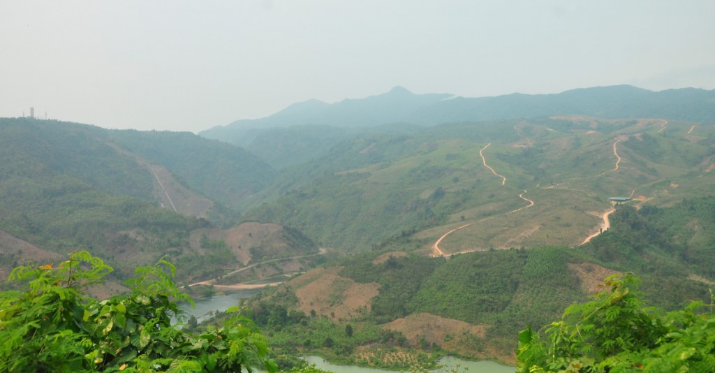
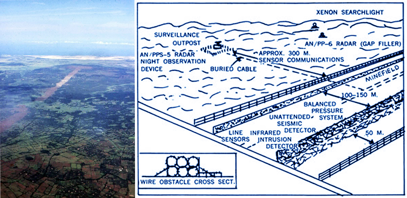
McNamara LineMcNamara's Line layout & the Trace running below the DMZ By 1966, Secretary of Defense Robert S. McNamara had lost faith in the air war against North Vietnam and was ready for change. End of the Rolling Thunder bombing campain against North Vietnam, He issued guidance for the United States to design and build a “high-tech barrier” to block infiltration of troops and supplies.The barrier would “run from the sea across Vietnam and Laos to the Me Kong river - the boundy between Laos and Thailand - a straight line distance of about 250 km.” In Vietnam, it would consist of minefields, barbed wire, ditches, and military strong points. In Laos, it would be an “interdiction and verification zone,” about 16 km wide, seeded with road-denial mines and all sorts of sensors to target trucks moving on the trail. This effort was given the code name Igloo White, it became popularly known as “the McNamara Line.” This multi-billion dollar program involved the implantation and monitoring of remote electronic sensors all along the Ho Chi Minh Trail to track vehicles and human movement through acoustic and seismic signatures.
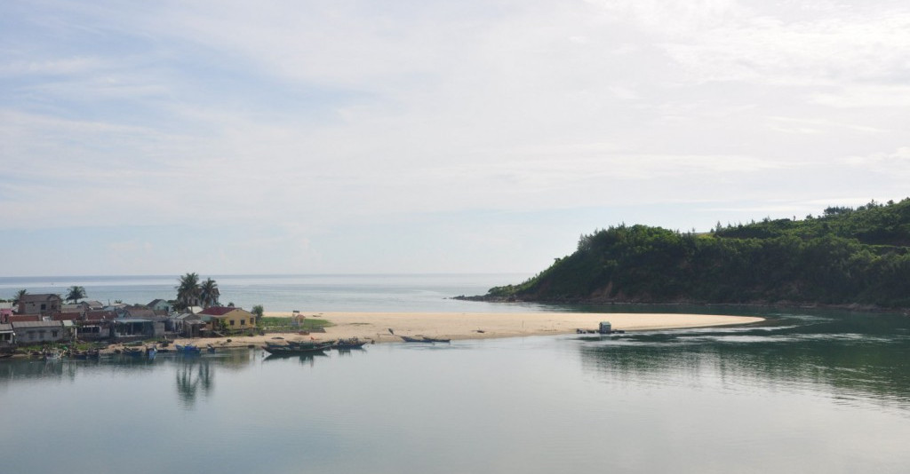
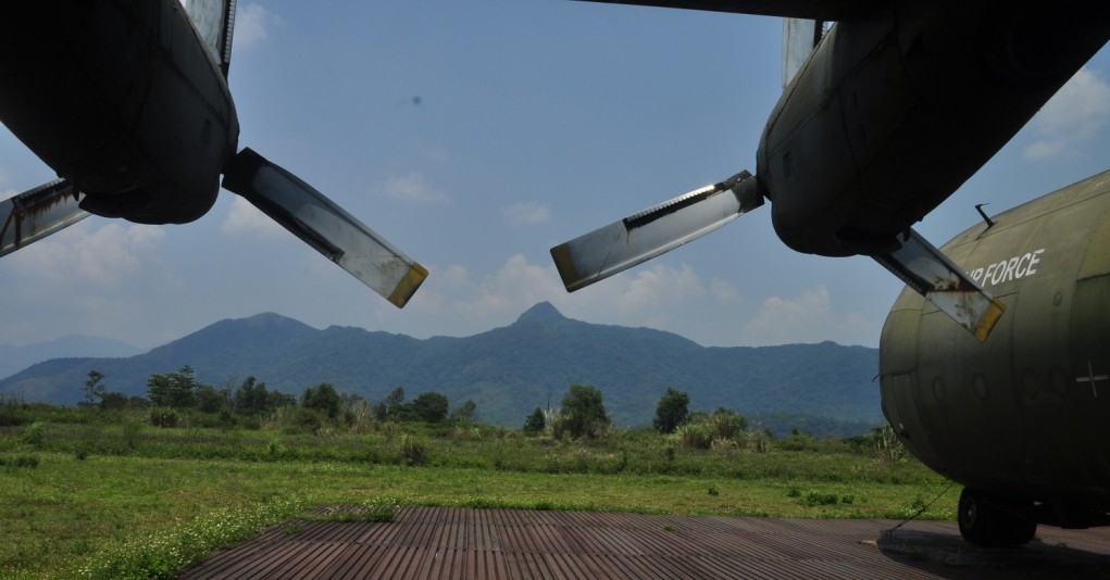
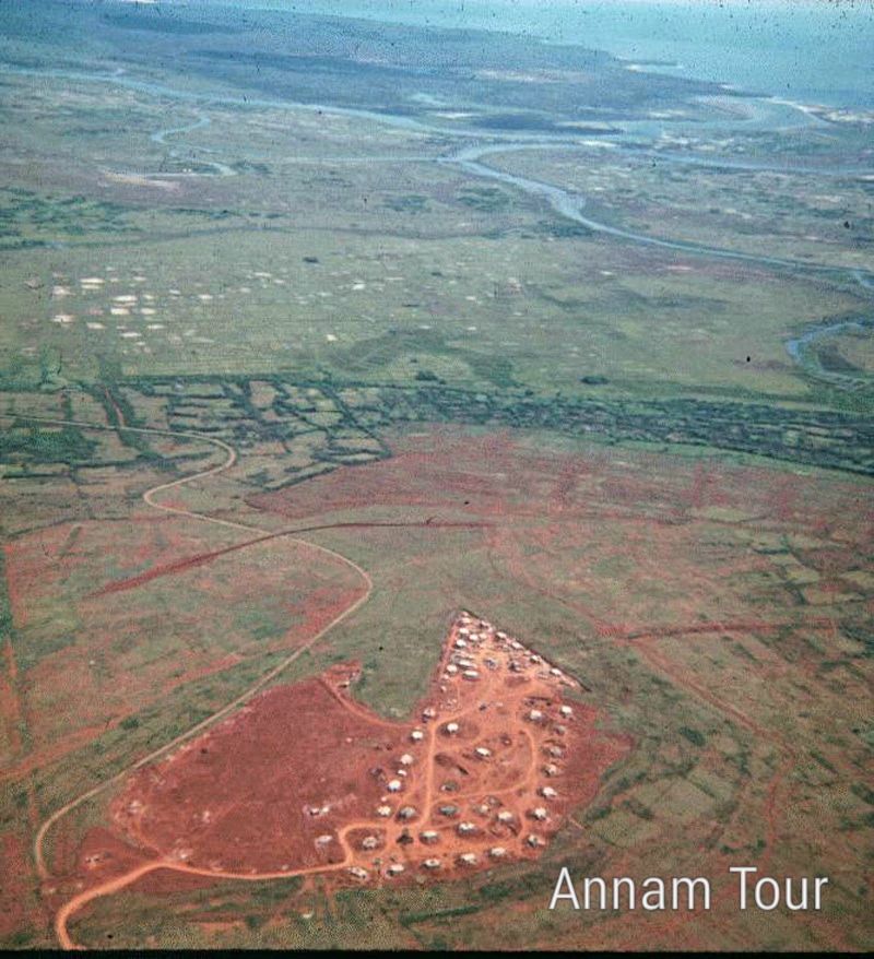
In September 1967, The US Navy enginees bulldozed a strip to at least 600 meters wide running right below the demilitarized zone ( The DMZ ) of Vietnam with a distance of about 11 km . This became known by the Marines as The Trace. The 600 meter wide path was stripped of trees, brush and villages if needed. The backbone of the strong-point system were fortified bases Alpha 2 at Gio Linh on the east, Alpha 4 at Con Thien on the west, and Alpha 3 in between. The anti-infiltration lline project stretched along the demilitarized zone starting from the sea, and had a total length of 76 km long. Some parts of the defensive line were manned and equipped with the bunkers, outposts, reinforcing and fire support bases, surrounded by concertina wire which were reinforced with electronic sensors and landmines to stop the flow of North Vietnamese troops and supplies through the demilitarized zone ( DMZ ). In late 1968, Khe Sanh Combat Base was abandoned after 77 day siege, all construction work on the physical barrier along the demilitarized zone on South Vietnam's side was ceased. The physical infrastructure created for the barrier was converted into a series of strong-points and support bases for the new strategy of mobile operations. This marked the end of the McNamara Line as an operational strategy The barrier construction in Vietnam was canceled, but the McNamara Line portion of the project was implemented. The trail was sown with 20,000 seismic and acoustic sensors, dropped by aircraft and placed by Special Forces teams. The sensors had to be replaced every few weeks as the batteries ran down.
An infiltration surveillance center called Task Force Alpha opened at Nakhon Phanom, Thailand, in July 1967. EC-121 Batcat aircraft began flying from Korat, Thailand, in November to monitor the signals from the sensors and relay them back to Task Force Alpha.
Sensors tracked the direction and speed of convoys on the trail. From this, it was possible to predict where the trucks were going and when they would get there. Air strikes were sent in, and as the aircraft approached the strike zone, the sensors updated the location of the trucks.
Some aircraft, notably the AC-130 gunship, were able to find trucks on their own. The AC-130 had its own sensors, including low-light-level TV, forward-looking infrared, and the shadowy “Black Crow,” which could detect truck engines from 10 miles away.
When the air campaign against the trail escalated in 1968, Igloo White would be central to it and would remain so for the rest of the war.

.jpeg)


